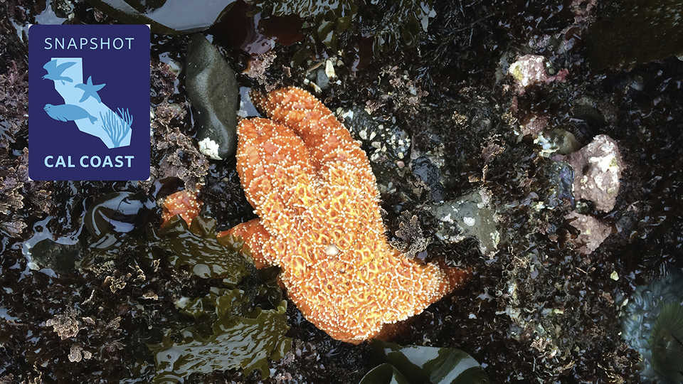
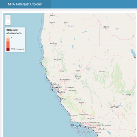
Snapshot Cal Coast is an annual California statewide citizen science effort that encourages people to make and share observations of plants, animals, and seaweeds along the California coast using the iNaturalist app. Led by the California Academy of Sciences with support from the California Ocean Protection Council, the California Department of Fish and Wildlife, and the MPA (Marine Protected Area) Collaborative Network and an array of other partners, we are creating a valuable snapshot in time of where species are located along our coast.
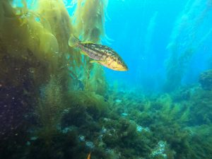
Divers- Record Your Observations inside our California Marine Protected Areas
Coronavirus (COVID-19) update: To protect public health and align with CDC guidelines, this year’s Snapshot Cal Coast will be held in two phases. Phase one (June 1-November 16) will be “physically distant and hyper-local,” focusing on beaches that participants can safely and legally access alone or with families or “quarantine bubbles,” while phase two (November 28-December 16) will (hopefully!) be a more traditional Snapshot Cal Coast. While observing, please remember the Three Ws, follow all local laws, and respect beach closures. Please note that dates and details are subject to change—subscribe to our newsletter for the latest updates.

